


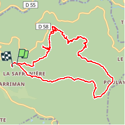

15.6 km | 21 km-effort


User


FREE GPS app for hiking
 SityTrail
IGN / Geographical institutes
SityTrail World
The world is yours!
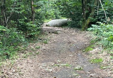
Trail Walking of 11.9 km to be discovered at Occitania, Tarn, Lacrouzette. This trail is proposed by leroj73.
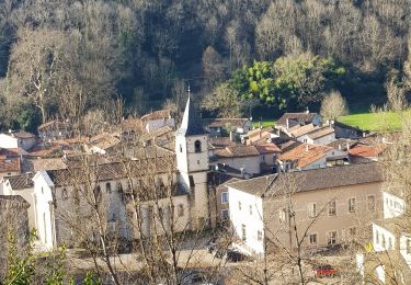
à faire en famille au fil de l eau.
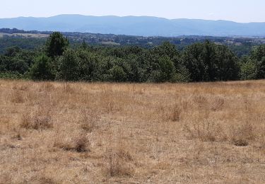
qlq points particuliers avec un peu de ludiques.


Walking

On foot

Mountain bike
Mountain bike
On foot
Walking
Walking
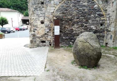
tres agreable. un chemin pour accéder au chapeau du curé est impraticable sans machette. mais l accés se fait qd même par le retour...