


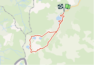

14.1 km | 24 km-effort


User


FREE GPS app for hiking
 SityTrail
IGN / Geographical institutes
SityTrail World
The world is yours!
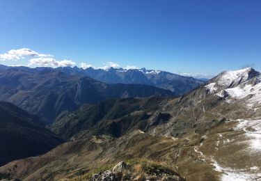
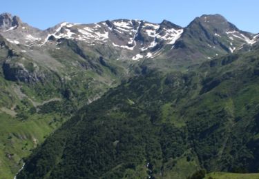
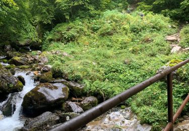
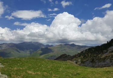
Trail Walking of 17.6 km to be discovered at New Aquitaine, Pyrénées-Atlantiques, Laruns. This trail is proposed by jaja64.
Un grand classique au départ de Bious Artigues. A mon avis la plus belle randonnée des Pyrénées accessible à tout le monde l'été.
A faire, refaire sans modération ;)


Walking

Walking

Walking
Walking
On foot
On foot
Walking
Walking
Other activity