


18.5 km | 37 km-effort


User


FREE GPS app for hiking
 SityTrail
IGN / Geographical institutes
SityTrail World
The world is yours!
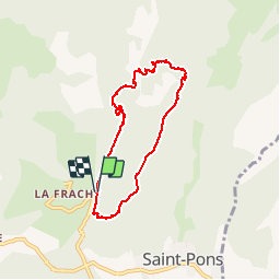
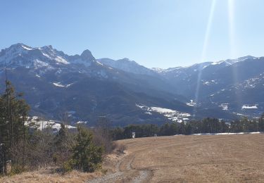
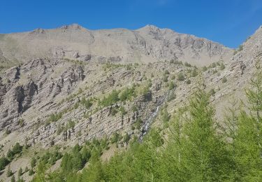
Trail Walking of 6.4 km to be discovered at Provence-Alpes-Côte d'Azur, Alpes-de-Haute-Provence, Saint-Pons. This trail is proposed by andre06130.
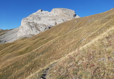
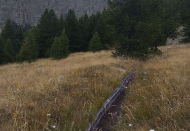
facile mais passages "aeriens"
à éviter avec de jeunes enfants
Walking
Walking
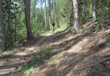
Mountain bike
Walking
Walking
Walking

Touring skiing
Walking
Walking
superbe vue sur la vallée le long de la crête Mais quelques passages aériens A éviter avec de jeunes enfants