


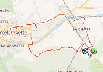

7.8 km | 13.4 km-effort

User


FREE GPS app for hiking
 SityTrail
IGN / Geographical institutes
SityTrail World
The world is yours!
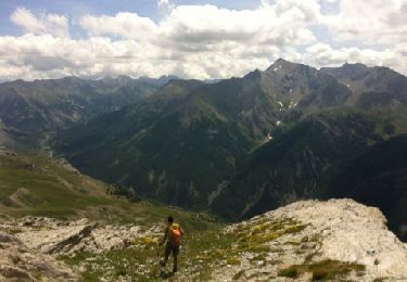
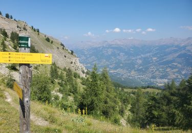
Trail Walking of 7.3 km to be discovered at Provence-Alpes-Côte d'Azur, Alpes-de-Haute-Provence, Enchastrayes. This trail is proposed by walrou63.
Première visite à Barcelonnette avec passage par l'Office du Tourisme pour se donner des idées de randonnées ou visites incontournables pour notre séjour. Merci à la personne qui nous a renseignés pour son professionnalisme.


Walking
Mountain bike
Walking
Walking

Walking
Walking
Walking
Walking
On foot