


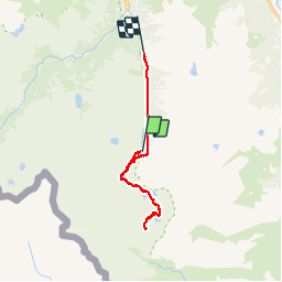


17.3 km | 34 km-effort


User


FREE GPS app for hiking
 SityTrail
IGN / Geographical institutes
SityTrail World
The world is yours!
Trail Walking of 23 km to be discovered at Occitania, Hautespyrenees, Cauterets. This trail is proposed by pffrench.
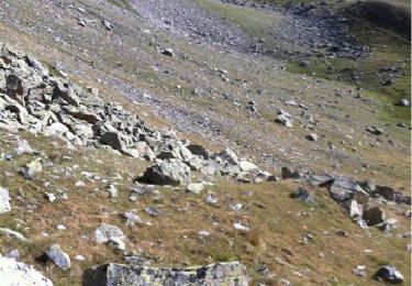
L'enregistrement GPS du trajet a été faussé, surtout au retour entre Estom et La Fruitière par le mauvais temps ... ce qui laisse circonspect uant à l'utilisation du GPS !
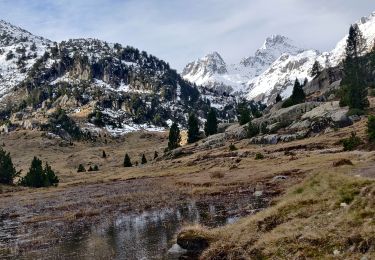
Quoiqu'il en soit nous avons complété la découvert du col des Gentianes par celle de la Brèche de Pouey-Mourou, d'accès facile, avec vue sur les sommets du cirque de Gavarnie et le Mont Perdu.
Randonnée endurante, sans difficultés en été.


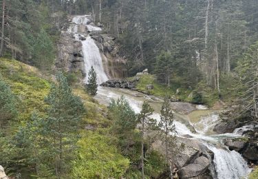
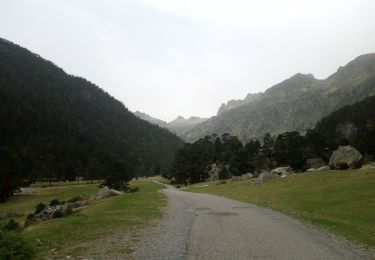
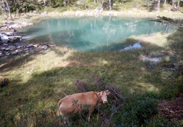
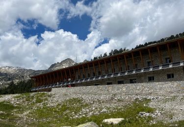
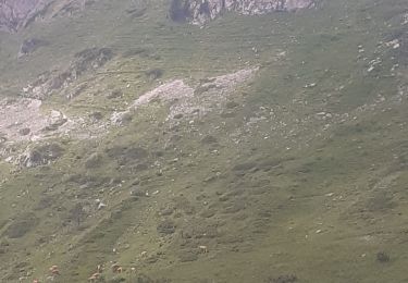
31 photos in total. Please click on a photo to see them all in the gallery.
Walking
Walking
Walking

Walking
Walking
Walking
Walking
Walking
Walking