


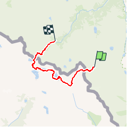


18.8 km | 31 km-effort

User


FREE GPS app for hiking
 SityTrail
IGN / Geographical institutes
SityTrail World
The world is yours!
Trail Walking of 22 km to be discovered at Occitania, Hautespyrenees, Cauterets. This trail is proposed by bgirard.
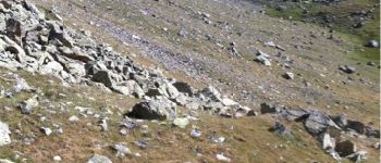
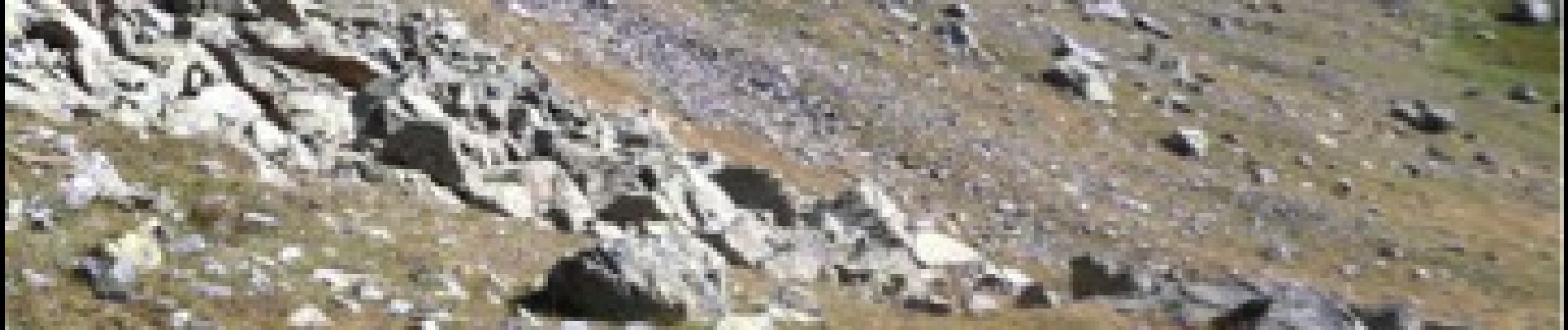
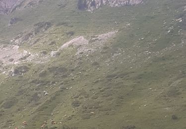
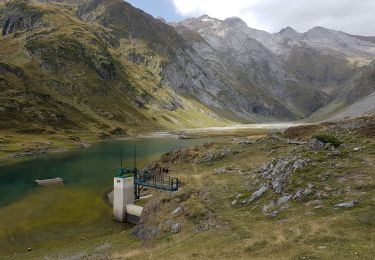
Gros pierrier dans la montée du Letrero - Sentier cairné pas facile à suivre dans le pourtour des lacs de Bramatuero.
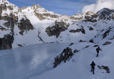
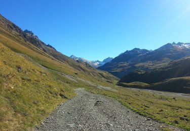
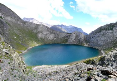
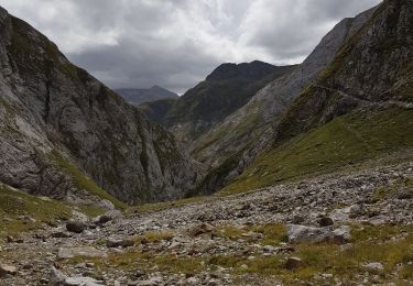
Après le col des Mulets, bien descendre jusqu'à la cote 2250m et poursuivre jusqu'au lac inférieur de Los Buitres avant d'entamer la montée. Contourner le lac supérieur de Los Buitres jusqu'au torrent d'alimentation avant d'entamer la montée dans le pierrier.

Walking
Walking
On foot
On foot
On foot
On foot
Walking
Walking
Walking