


Les Roberts (05)

JeanPierreNancy
User

Length
8 km

Max alt
1759 m

Uphill gradient
583 m
Km-Effort
15.8 km

Min alt
1354 m

Downhill gradient
594 m
Boucle
Yes
Creation date :
2019-09-05 08:41:34.923
Updated on :
2019-09-05 13:32:58.263
4h36
Difficulty : Medium

FREE GPS app for hiking
 SityTrail
IGN / Geographical institutes
SityTrail Plus
The world is yours!
About
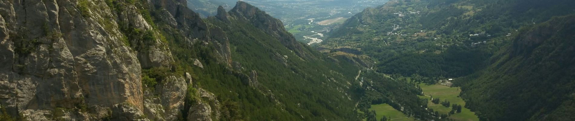
Trail Walking of 8 km to be discovered at Provence-Alpes-Côte d'Azur, Hautes-Alpes, Freissinières. This trail is proposed by JeanPierreNancy.
Photos
 - Photo 1")
 - Photo 2")
 - Photo 3")
 - Photo 4")
 - Photo 5")
 - Photo 6")
Positioning
Country:
France
Region :
Provence-Alpes-Côte d'Azur
Department/Province :
Hautes-Alpes
Municipality :
Freissinières
Location:
Unknown
Start:(Dec)
Start:(UTM)
304825 ; 4959116 (32T) N.
Comments