


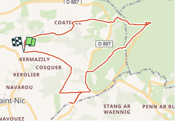

10.2 km | 14 km-effort


User


FREE GPS app for hiking
 SityTrail
IGN / Geographical institutes
SityTrail World
The world is yours!
Trail Walking of 11.1 km to be discovered at Brittany, Finistère, Saint-Nic. This trail is proposed by Orcal37.
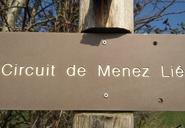
Saint Nic - boucle Ménez Hom et Dolmen de Ménez Lié - 11.1km 305m 3h10 - 2019 09 07


Walking
Walking
On foot
Walking

Walking
Walking


Mountain bike

Walking