Trail Mountain bike Plomodiern - Argol - Plomodiern - Photo

Argol - Plomodiern

 tracegps
tracegps

User

© OpenStreetMap contributors
Length
Length
39 km
Max alt
Max alt
223 m
Uphill gradient
Uphill gradient
846 m
Km-Effort
Km-Effort  
50 km
Min alt
Min alt
29 m
Downhill gradient
Downhill gradient
846 m
Boucle
Boucle
Yes
Creation date :
2014-12-10 00:00:00.0
Updated on :
2014-12-10 00:00:00.0

(0 Reviews)

Mountain bike
Mountain bike
3h10
Difficulty : Difficult

Scan this QR Code to open this trail in the SityTrail application

FREE GPS app for hiking

Logo SityTrail SityTrail

IGN / Geographical institutes

Download SityTrail from the App Store Download SityTrail from Google Play

Logo SityTrail SityTrail World

The world is yours!

Download SityTrail from the App Store Download SityTrail from Google Play Download SityTrail on Huawei AppGallery

About

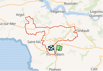
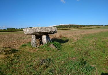
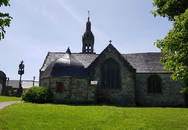
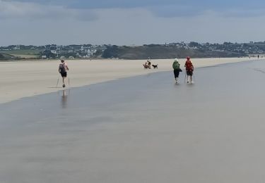
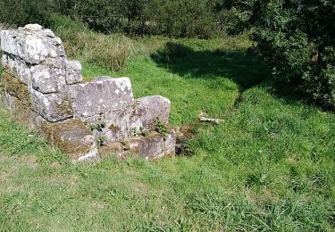
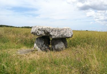
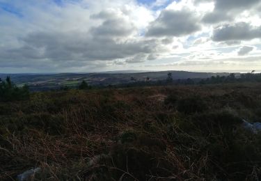
Trail Mountain bike of 39 km to be discovered at Brittany, Finistère, Plomodiern. This trail is proposed by tracegps.

Description

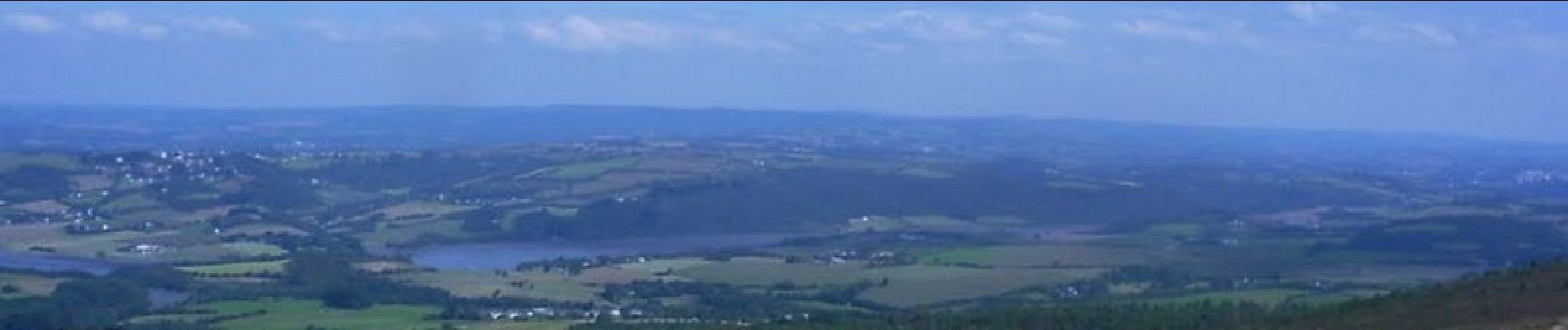
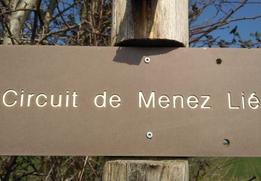
Faire le tour du Ménez-Hom sans y monter, en passant par Argol et Dineault. Passe par plusieurs PR et par des endroits non balisés.

Elevation profile

Photos

Positioning

Country:
France
Region :
Brittany
Department/Province :
Finistère
Municipality :
Plomodiern
Location:
Unknown
Start:(UTM)
408377 ; 5337212 (30U) N.

Trails nearby

Trail On foot Saint-Nic - Circuit du Menez-Hom - Photo
On foot
PRO

On foot

Easy
Saint-Nic, Brittany, Finistère, France
4.8 km | 6 km-effort
1h 22min
No
Trail Walking Plomodiern - PLOMODIERN - Photo
Walking
RonanDAGORN

Walking

Easy
Plomodiern, Brittany, Finistère, France
13.2 km | 16.4 km-effort
3h 1min
Yes
Trail Walking Saint-Nic - Saint Nic - boucle Ménez Hom et Dolmen de Ménez Lié - 11.1km 305m 3h10 - 2019 09 07 - Photo
Walking
Orcal37

Walking

Easy
Saint-Nic, Brittany, Finistère, France
11.1 km | 15.2 km-effort
3h 10min
Yes
Trail Walking Plomodiern - Menez-Hom - Photo
Walking
Brusa

Walking

Easy
Plomodiern, Brittany, Finistère, France
9 km | 12 km-effort
2h 34min
Yes
Trail Other activity Dinéault - dineault 2 - Photo
Other activity
Amegadan

Other activity

Very easy
(1)
Dinéault, Brittany, Finistère, France
8.2 km | 10.9 km-effort
Unknown
No
Trail Nordic walking Plomodiern - lestrevet via Ménez hom - Photo
Nordic walking
elianette

Nordic walking

Very easy
Plomodiern, Brittany, Finistère, France
76 km | 94 km-effort
5h 32min
No
Trail Walking Plomodiern - 2021-09-22 MENEZ Home boucle  - Photo
Walking
jacq58

Walking

Medium
Plomodiern, Brittany, Finistère, France
12.9 km | 17 km-effort
3h 18min
Yes
Trail Walking Plomodiern - Autour de Ste Marie du Ménez Hom - Photo
Walking
maupassant38

Walking

Medium
Plomodiern, Brittany, Finistère, France
15.6 km | 21 km-effort
4h 16min
Yes
Trail Walking Dinéault - mene hom aulne - Photo
Walking

Walking

Very easy
Dinéault, Brittany, Finistère, France
14.5 km | 20 km-effort
3h 12min
Yes


Close
My subscriptions