


Hohneck par la Worsa

Claudele
User
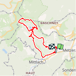

Length
17.4 km

Max alt
1355 m

Uphill gradient
930 m
Km-Effort
30 km

Min alt
491 m

Downhill gradient
929 m
Boucle
Yes
Creation date :
2019-09-11 06:15:42.457
Updated on :
2019-09-11 19:21:42.143
8h25
Difficulty : Difficult

FREE GPS app for hiking
 SityTrail
IGN / Geographical institutes
SityTrail Plus
The world is yours!
About
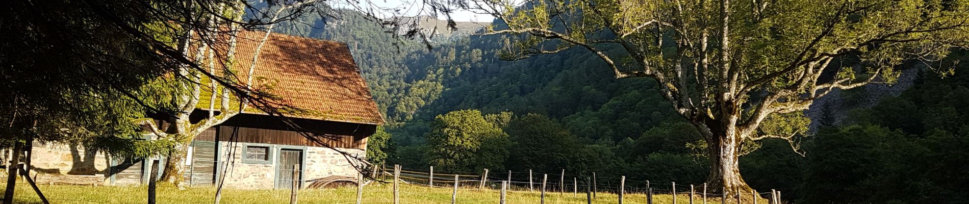
Trail Walking of 17.4 km to be discovered at Grand Est, Haut-Rhin, Metzeral. This trail is proposed by Claudele.
Photos


49 photos in total. Please click on a photo to see them all in the gallery.
Positioning
Country:
France
Region :
Grand Est
Department/Province :
Haut-Rhin
Municipality :
Metzeral
Location:
Unknown
Start:(Dec)
Start:(UTM)
354920 ; 5319324 (32U) N.
Comments