


5 km | 5.5 km-effort


User


FREE GPS app for hiking
 SityTrail
IGN / Geographical institutes
SityTrail World
The world is yours!
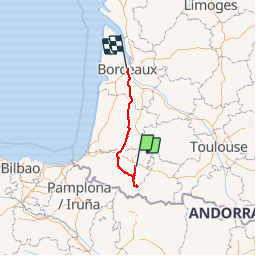
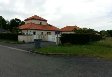
Trail Motorbike of 328 km to be discovered at New Aquitaine, Pyrénées-Atlantiques, Pau. This trail is proposed by ceituna.
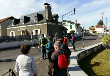
Walking

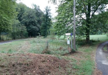
Walking
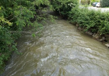
Walking
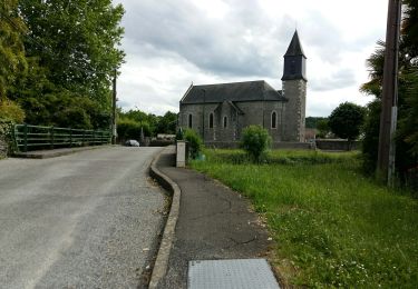
Walking
Walking
Walking
Walking
Walking
Walking