


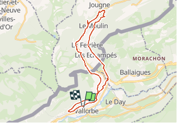


35 km | 53 km-effort


User


FREE GPS app for hiking
 SityTrail
IGN / Geographical institutes
SityTrail World
The world is yours!
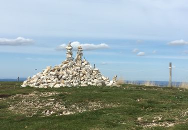
Trail Walking of 16.7 km to be discovered at Vaud, District du Jura-Nord vaudois, Vallorbe. This trail is proposed by duamerg.
"Depuis la gare de Vallorbe, suivre l'ancienne ligne de chemin de fer.
N'oubliez pas la carte d'identité.

Mountain bike
On foot
On foot
On foot

On foot
Walking

Walking

Snowshoes
Mountain bike