


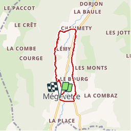

14.9 km | 26 km-effort


User


FREE GPS app for hiking
 SityTrail
IGN / Geographical institutes
SityTrail World
The world is yours!
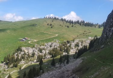
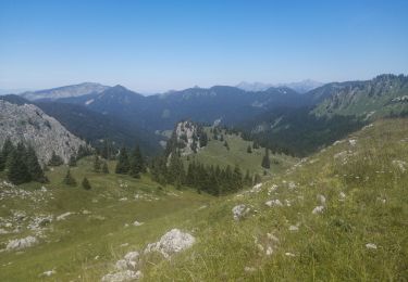
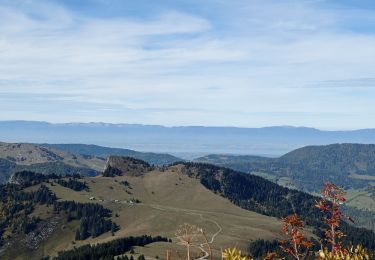
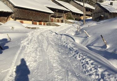
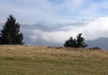
Trail Walking of 5.1 km to be discovered at Auvergne-Rhône-Alpes, Upper Savoy, Mégevette. This trail is proposed by Quizont.
petite boucle très facile au départ de Megevette.
C'est, en raccourci la boucle des oratoires, et en sens inverse, pour voir d'autres points de vue.
Walking

Walking

Walking
Walking
Walking

Touring skiing
Other activity

Running
Walking