


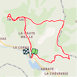

26 km | 53 km-effort

User


FREE GPS app for hiking
 SityTrail
IGN / Geographical institutes
SityTrail World
The world is yours!
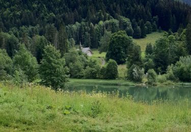
Trail Other activity of 10.9 km to be discovered at Auvergne-Rhône-Alpes, Upper Savoy, Bellevaux. This trail is proposed by leclaude74.
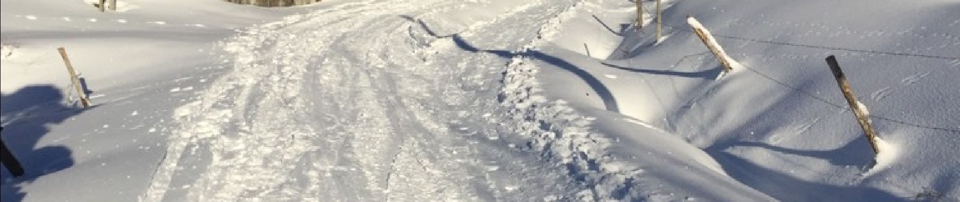
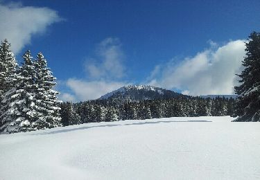
rando a ski conseiller de faire la descente côté montée car la boucle pour le retour est a faire si beaucoup de neige car descente dans les bois


Nordic walking
Walking

Walking
Walking

Running
Running
Snowshoes
Walking
Walking