


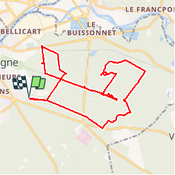


9.6 km | 12.8 km-effort

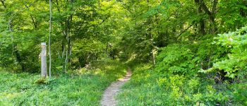
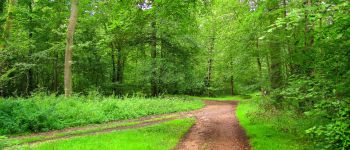
mes randos en forêt


FREE GPS app for hiking
 SityTrail
IGN / Geographical institutes
SityTrail World
The world is yours!
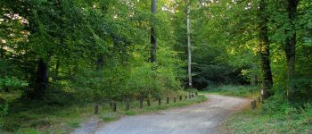
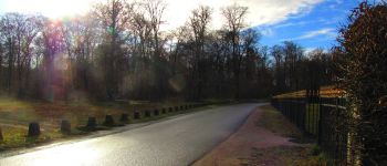
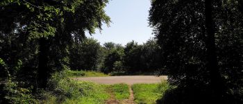
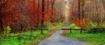
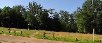
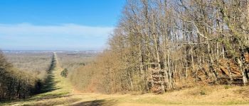
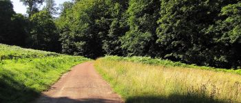
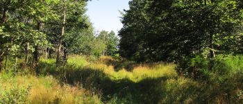
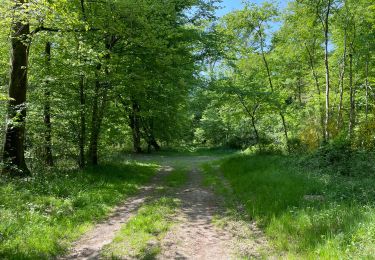
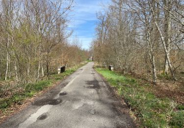
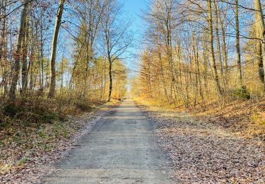
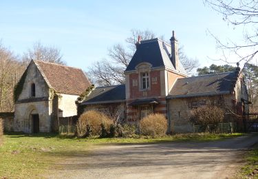
Trail Walking of 20 km to be discovered at Hauts-de-France, Oise, Compiègne. This trail is proposed by en forêt de Compiègne.
09/ 2019
objectifs: faire les Tournantes du Grand Parc et du Mont du Tremble
voir aussi http://foret-de-compiegne.over-blog.com/
batterie de rechange pour iphone obligatoire.
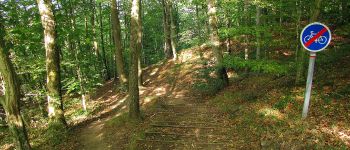
rando classée très difficile
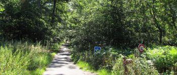
warning: la Route des Beaux Monts au carrefour de l'Envers des Beaux Monts pour aller à la Route Eugénie est effacée (envahie par les ronces, impraticable); obligé d'utiliser un itinéraire ... de délestage.
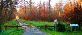
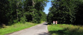
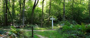
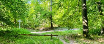
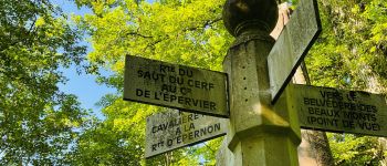
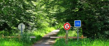
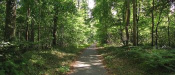
Au départ du carrefour Royal, suivre la Tournante du Grand Parc jusqu'au carrefour Bellicart. Tourner à gauche dans la Route des Bordures et la suivre jusqu'à l'Avenue des Beaux Monts. Continuer sur l'Avenue des Beaux Monts jusqu'au Belvédère. Prendre un sentier à gauche pour redescendre et rejoindre le carrefour du Tréan. Suivre à droite la Route de Berne (Route François 1er) jusqu'au carrefour des Beaux Monts. Prendre la Route Tournante du Mont du Tremble jusqu'au carrefour Lucifer. Tourner à droite dans la Route de l'Ortille et continuer jusqu'au carrefour avec la Route des Beaux Monts (GR655-GR12A). Continuer à droite sur la Route des Beaux Monts jusqu'au carrefour de l'Envers des Beaux Monts. Prendre à gauche un chemin qui rejoint la Route Eugénie. Tourner à droite sur cette route pour aller à la maison forestière de Sainte-Corneille. Retrouver à gauche la Route des Beaux Monts pour aller jusqu'au carrefour de l'Epinette. Suive à droite la piste cyclable pour rejoindre le point de départ.


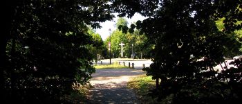
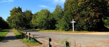
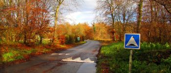
400 photos in total. Please click on a photo to see them all in the gallery.
Walking

Walking
Walking
Walking

Walking

Walking
Walking
On foot