


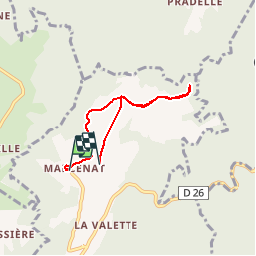

4.6 km | 6.6 km-effort

User


FREE GPS app for hiking
 SityTrail
IGN / Geographical institutes
SityTrail World
The world is yours!
Trail Walking of 4.9 km to be discovered at Auvergne-Rhône-Alpes, Puy-de-Dôme, Valbeleix. This trail is proposed by ffffff.
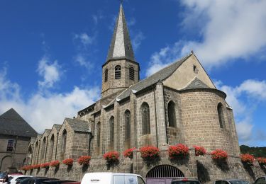
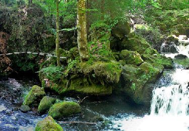
route très plaisante depuis BESSE pour cette baladinette de "respiration" , en toute sérénité sur ce plateau à environ 1.000 m d'altitude : allez... entre deux randonnées...
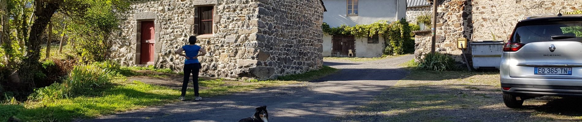
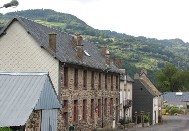
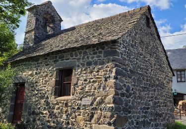
une habitante et son chien Gudule, accueillants, s'estiment privilégiés d'habiter ici
😉
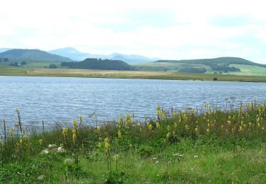
vue, très lointaine sur le puy de Dôme
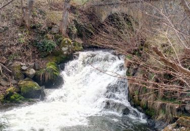
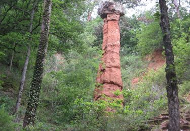
 - Photo 1")
 - Photo 2")
 - Photo 3")
 - Photo 4")
 - Photo 5")
 - Photo 6")
 - Photo 7")
 - Photo 8")
 - Photo 9")
Walking

Walking
On foot
On foot
On foot
On foot
On foot
Walking
Walking