


St Pierre d'Oléron

chrifor
User
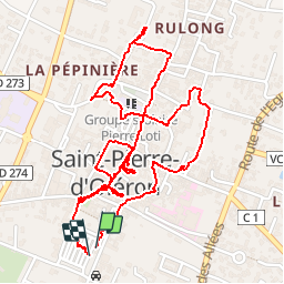

Length
3.5 km

Max alt
12 m

Uphill gradient
14 m
Km-Effort
3.7 km

Min alt
4 m

Downhill gradient
14 m
Boucle
Yes
Creation date :
2019-09-20 08:13:21.279
Updated on :
2019-09-20 10:01:02.065
1h47
Difficulty : Very easy

FREE GPS app for hiking
 SityTrail
IGN / Geographical institutes
SityTrail Plus
The world is yours!
About
Trail Walking of 3.5 km to be discovered at New Aquitaine, Charente-Maritime, Saint-Pierre-d'Oléron. This trail is proposed by chrifor.
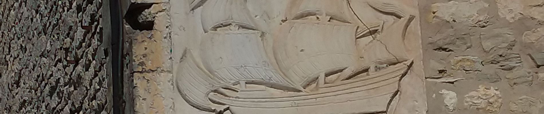
Photos


Positioning
Country:
France
Region :
New Aquitaine
Department/Province :
Charente-Maritime
Municipality :
Saint-Pierre-d'Oléron
Location:
Unknown
Start:(Dec)
Start:(UTM)
631241 ; 5088969 (30T) N.
Comments