


jour 17 CAP Jeanot

jeannat
User
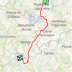

Length
32 km

Max alt
759 m

Uphill gradient
610 m
Km-Effort
41 km

Min alt
517 m

Downhill gradient
682 m
Boucle
No
Creation date :
2019-09-25 12:24:30.69
Updated on :
2019-09-25 15:51:00.995
3h19
Difficulty : Very easy

FREE GPS app for hiking
 SityTrail
IGN / Geographical institutes
SityTrail Plus
The world is yours!
About
Trail Running of 32 km to be discovered at New Aquitaine, Creuse, Royère-de-Vassivière. This trail is proposed by jeannat.
Description
de royeres-de,vassiviere
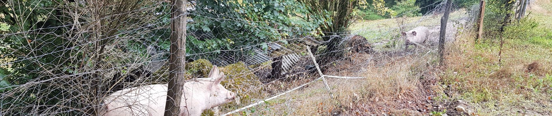
Photos


Positioning
Country:
France
Region :
New Aquitaine
Department/Province :
Creuse
Municipality :
Royère-de-Vassivière
Location:
Unknown
Start:(Dec)
Start:(UTM)
415419 ; 5076463 (31T) N.
Comments