


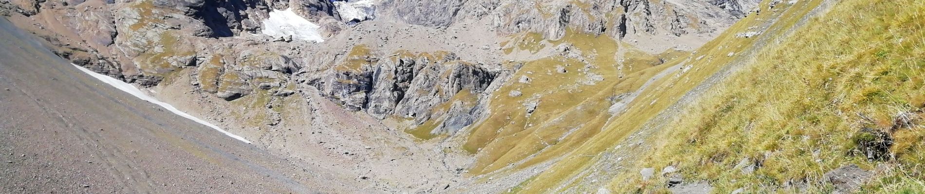
combe des Aiguilles / Bonne nuit

laurentnecca
User


Length
14.6 km

Max alt
2744 m

Uphill gradient
1096 m
Km-Effort
29 km

Min alt
1671 m

Downhill gradient
1091 m
Boucle
Yes
Creation date :
2019-09-29 07:31:10.473
Updated on :
2019-09-29 15:04:42.139
5h51
Difficulty : Medium

FREE GPS app for hiking
 SityTrail
IGN / Geographical institutes
SityTrail Plus
The world is yours!
About
Trail Walking of 14.6 km to be discovered at Auvergne-Rhône-Alpes, Savoy, Valloire. This trail is proposed by laurentnecca.
Description
Très long
Photos


Positioning
Country:
France
Region :
Auvergne-Rhône-Alpes
Department/Province :
Savoy
Municipality :
Valloire
Location:
Unknown
Start:(Dec)
Start:(UTM)
296908 ; 4999650 (32T) N.
Comments