


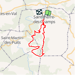

19.6 km | 26 km-effort


User


FREE GPS app for hiking
 SityTrail
IGN / Geographical institutes
SityTrail World
The world is yours!
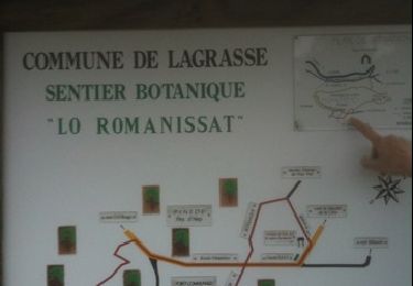
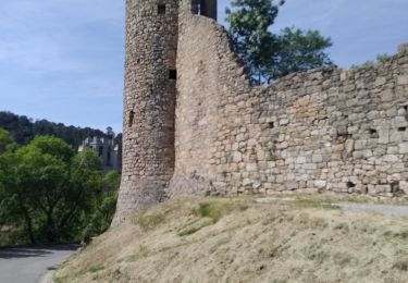
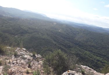
Trail Walking of 14.3 km to be discovered at Occitania, Aude, Saint-Pierre-des-Champs. This trail is proposed by bernardbelmas.
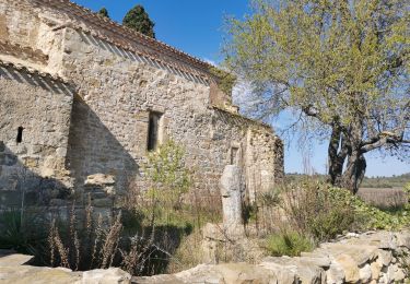
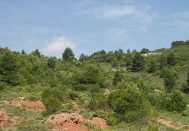
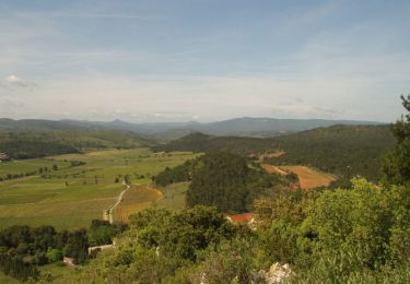
belle randonnée dans un paysage typique des Corbières avec petites vignes isolées, pins et garrigue, Chênes verts, colchiques, sarriette en fleurs, thym sans oublier nombre d'arbousiers
sans oublier la vue
un grand bol d'air au calme garanti


Walking
Walking
Walking
Walking
Walking
Walking
Walking
Walking