


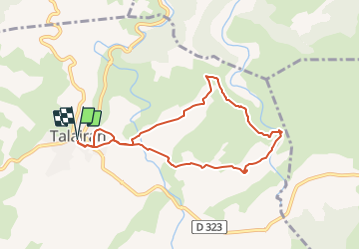

19.6 km | 26 km-effort


User


FREE GPS app for hiking
 SityTrail
IGN / Geographical institutes
SityTrail World
The world is yours!
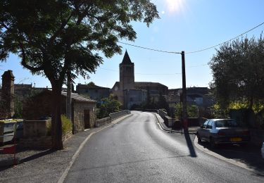
Trail Walking of 8.1 km to be discovered at Occitania, Aude, Talairan. This trail is proposed by Licianus2.
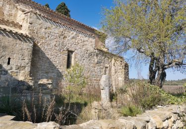
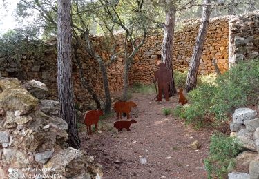
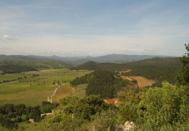
Boucle facile avec un dénivelé en douceur. Peu d'ombre et peu d'abri du vent, mérite cependant d'être fait dans le sens horaire. Le Gourg Goutonnier, énorme marmite de géant creusée au fil des millénaires dans lit de la Nielle, constitue le but de cette randonnée. On l'atteint après un cheminement plein de charme au milieu des vignes et de la garrigue. Le retour s'effectue par la Chapelle de Notre-Dame de Lère qui s'élève dans un site solitaire au milieu d'une mer de ceps sur laquelle elle semble veiller jalousement. Tout le charme des Corbières en un circuit relativement court, idéal pour une demi-journée.


Walking

On foot
Walking
On foot
Walking
Walking
Walking
Walking
Walking