Trail Car Page - USA_D5 - Photo
© OpenStreetMap contributors
Length
Length
180 km
Max alt
Max alt
2822 m
Uphill gradient
Uphill gradient
5929 m
Km-Effort
Km-Effort  
255 km
Min alt
Min alt
1187 m
Downhill gradient
Downhill gradient
4757 m
Boucle
Boucle
No
Creation date :
2019-10-13 16:27:44.0
Updated on :
2019-10-14 00:53:49.456

(0 Reviews)

Car
Car
1h11
Difficulty : Unknown

Scan this QR Code to open this trail in the SityTrail application

FREE GPS app for hiking

Logo SityTrail SityTrail

IGN / Geographical institutes

Download SityTrail from the App Store Download SityTrail from Google Play

Logo SityTrail SityTrail World

The world is yours!

Download SityTrail from the App Store Download SityTrail from Google Play Download SityTrail on Huawei AppGallery

About

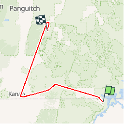
Trail Car of 180 km to be discovered at Arizona, Coconino County. This trail is proposed by DenisBeranger.

Elevation profile

Positioning

Country:
United States
Region :
Arizona
Department/Province :
Coconino County
Municipality :
Page
Location:
Unknown
Start:(UTM)
451806 ; 4093009 (12S) N.

Trails nearby

Trail Motor  - Lake Powell Rainbow Cruise - Photo
Motor
Maca8284

Motor

Very easy
, Utah, Kane County, United States
131 km | 134 km-effort
6h 41min
No
Trail Car Unknown - 3 - Photo
Car
DenisBeranger

Car

Unknown, Arizona, Coconino County, United States
134 km | 187 km-effort
1h 42min
No
Trail 4x4 Unknown - Alstrom Point - Photo
4x4
phi14

4x4

Very easy
Unknown, Utah, Kane County, United States
41 km | 50 km-effort
Unknown
No
Trail Walking Unknown - HorseshoeBend - Photo
Walking
raymondfn

Walking

Medium
Unknown, Arizona, Coconino County, United States
950 m | 1.2 km-effort
17min
No


Close
My subscriptions