


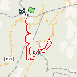


3.3 km | 4.4 km-effort


User


FREE GPS app for hiking
 SityTrail
IGN / Geographical institutes
SityTrail World
The world is yours!
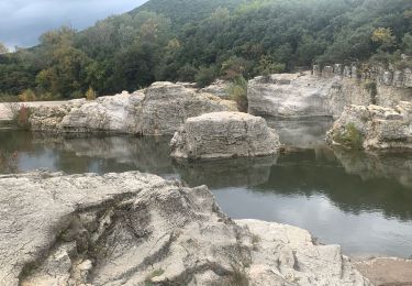
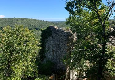
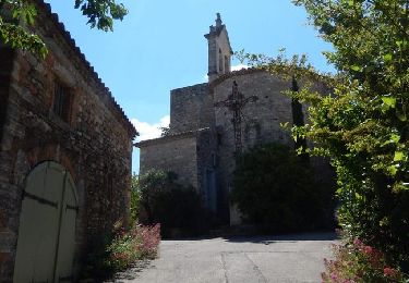
Trail Walking of 8.8 km to be discovered at Occitania, Gard, Saint-Laurent-de-Carnols. This trail is proposed by vincent13.


Walking
Walking

Walking
Walking
Walking
Walking

Walking

Walking
Walking