


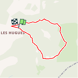

12.9 km | 21 km-effort


User


FREE GPS app for hiking
 SityTrail
IGN / Geographical institutes
SityTrail World
The world is yours!
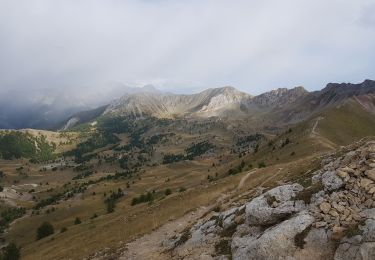
Trail Walking of 3.4 km to be discovered at Provence-Alpes-Côte d'Azur, Alpes-de-Haute-Provence, Pontis. This trail is proposed by andre06130.
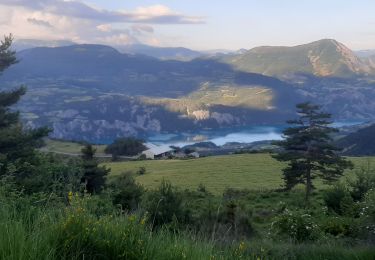
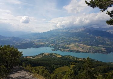
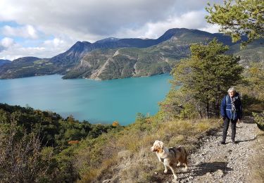
Vue sur le lac de Serre Ponçon
Walking
Walking
Walking
Walking
Walking

Mountain bike

Walking
Walking
Walking
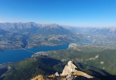
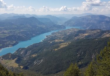
superbe vue sur le lac de serre-ponçon et le barrage