


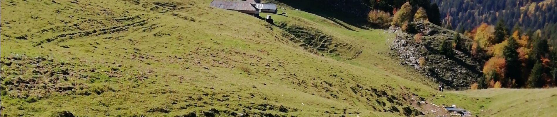
Raffort / sous le col du Tamier

laurentnecca
User
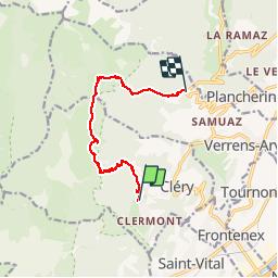

Length
9.5 km

Max alt
1622 m

Uphill gradient
952 m
Km-Effort
22 km

Min alt
718 m

Downhill gradient
846 m
Boucle
No
Creation date :
2019-10-16 06:39:09.635
Updated on :
2019-10-16 12:12:01.185
4h39
Difficulty : Medium

FREE GPS app for hiking
 SityTrail
IGN / Geographical institutes
SityTrail Plus
The world is yours!
About
Trail Walking of 9.5 km to be discovered at Auvergne-Rhône-Alpes, Savoy, Cléry. This trail is proposed by laurentnecca.
Photos


Positioning
Country:
France
Region :
Auvergne-Rhône-Alpes
Department/Province :
Savoy
Municipality :
Cléry
Location:
Unknown
Start:(Dec)
Start:(UTM)
288248 ; 5057858 (32T) N.
Comments