


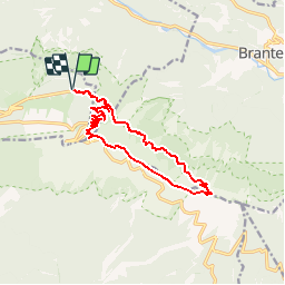

19.1 km | 30 km-effort


User


FREE GPS app for hiking
 SityTrail
IGN / Geographical institutes
SityTrail World
The world is yours!
Trail Walking of 13.7 km to be discovered at Provence-Alpes-Côte d'Azur, Vaucluse, Beaumont-du-Ventoux. This trail is proposed by MarcLEBARON.
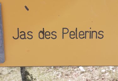
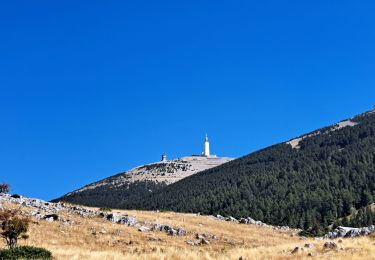
Camping Mt Serein, Mt Ventoux, crêtes et retour

Walking

Walking
Walking
Walking
Walking
Walking
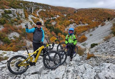
Mountain bike
Walking
Walking
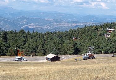
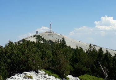
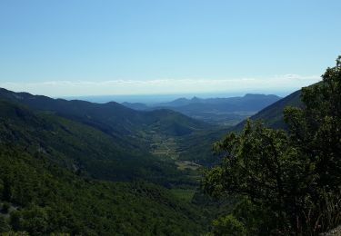
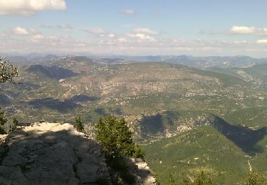
La montée est très belle, la crête est en caillou...