


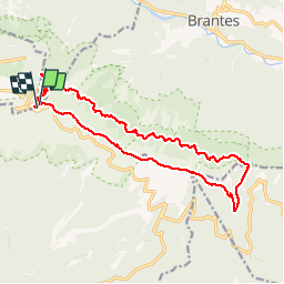


19.1 km | 30 km-effort

User


FREE GPS app for hiking
 SityTrail
IGN / Geographical institutes
SityTrail World
The world is yours!
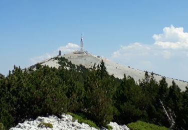
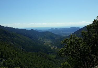
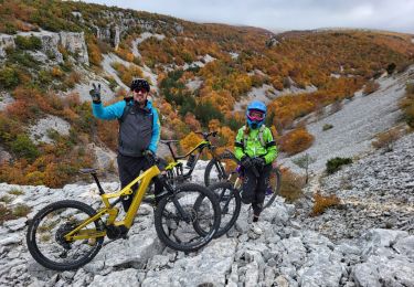
Trail Walking of 19.2 km to be discovered at Provence-Alpes-Côte d'Azur, Vaucluse, Bédoin. This trail is proposed by Dany79.


Walking

Walking
Walking
Walking
Walking

Walking
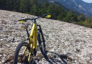
Mountain bike
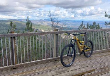
Mountain bike
Mountain bike
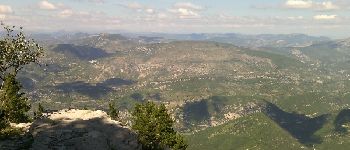
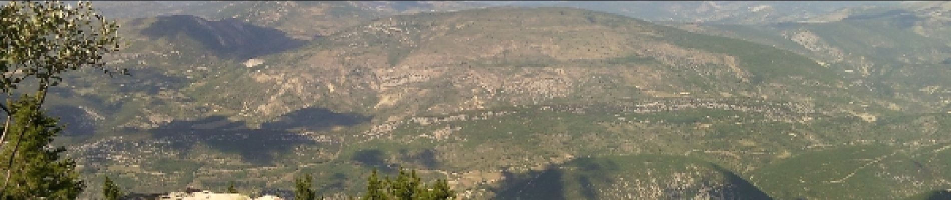
La partie de la rando sur le GR9 est très agréable. Des chamoix à foison ! ;-)