


Lac de la Lauch-Refuge du Treh

JCLUTT
User
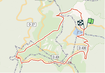

Length
12 km

Max alt
1214 m

Uphill gradient
439 m
Km-Effort
17.9 km

Min alt
932 m

Downhill gradient
438 m
Boucle
Yes
Creation date :
2019-10-23 20:59:25.864
Updated on :
2020-08-04 11:58:13.612
--
Difficulty : Medium

FREE GPS app for hiking
 SityTrail
IGN / Geographical institutes
SityTrail Plus
The world is yours!
About
Trail On foot of 12 km to be discovered at Grand Est, Haut-Rhin, Linthal. This trail is proposed by JCLUTT.
Positioning
Country:
France
Region :
Grand Est
Department/Province :
Haut-Rhin
Municipality :
Linthal
Location:
Unknown
Start:(Dec)
Start:(UTM)
354179 ; 5311166 (32T) N.
Comments