


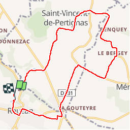

64 km | 74 km-effort


User


FREE GPS app for hiking
 SityTrail
IGN / Geographical institutes
SityTrail World
The world is yours!
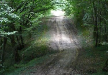
Trail Running of 10.6 km to be discovered at New Aquitaine, Gironde, Rauzan. This trail is proposed by thomgrimaud.
a fond
Bicycle tourism
Walking
Walking

Walking
Coupling

Mountain bike

Walking
Mountain bike

Walking