


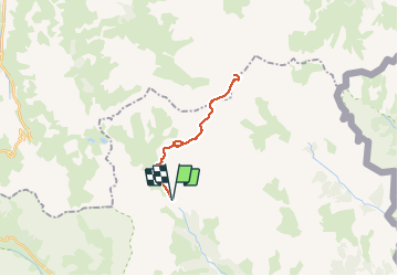

10 km | 18 km-effort

La Clarée un must pour randonner alors à nous d'en profiter ....


FREE GPS app for hiking
 SityTrail
IGN / Geographical institutes
SityTrail World
The world is yours!
Trail Walking of 20 km to be discovered at Provence-Alpes-Côte d'Azur, Hautes-Alpes, Névache. This trail is proposed by Névache Aout 2020 REV 83.
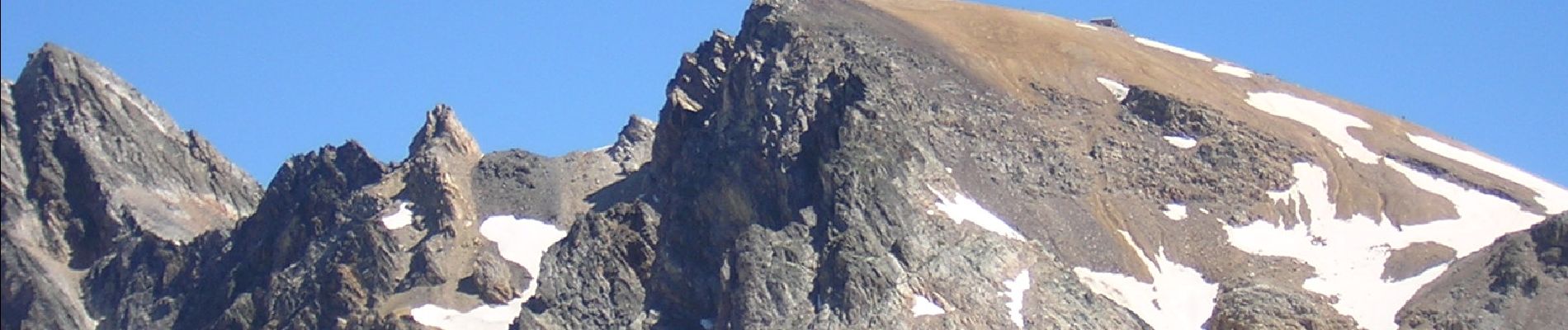
REV Névache 2020 G1 Départ Parking Laval Lac Rond Lac des Muandes Col des Muandes Col de Valmeinier Chapelle et Mont Thabor point culminant du Massif des Cerces


Walking

Walking

Walking

Walking

Via ferrata

Walking

Walking
Walking

Walking
fait il y à le 13 07 2023 c'est magnifique