


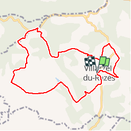

10.7 km | 13.5 km-effort


User


FREE GPS app for hiking
 SityTrail
IGN / Geographical institutes
SityTrail World
The world is yours!
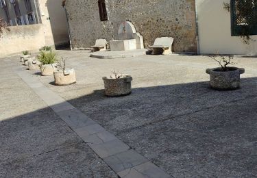
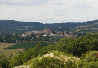
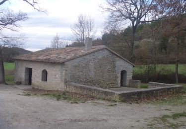
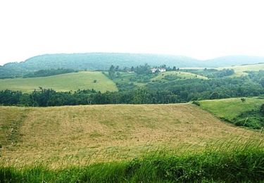
Trail Walking of 10.9 km to be discovered at Occitania, Aude, Villarzel-du-Razès. This trail is proposed by belhache.
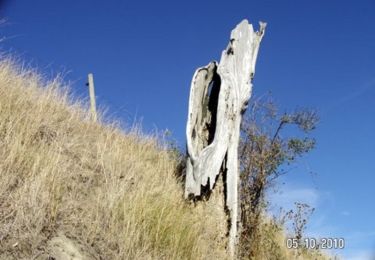
Très vallonnée mais avec des vues impressionnantes sur les Pyrénées.
Walking
Mountain bike


Walking

Walking
Walking

Cycle
Cycle