


But de l’Aiglette

ajd26
User
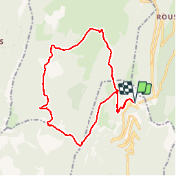

Length
19 km

Max alt
1544 m

Uphill gradient
733 m
Km-Effort
29 km

Min alt
1135 m

Downhill gradient
732 m
Boucle
Yes
Creation date :
2019-12-04 09:04:00.0
Updated on :
2019-12-06 13:06:54.208
6h00
Difficulty : Easy

FREE GPS app for hiking
 SityTrail
IGN / Geographical institutes
SityTrail Plus
The world is yours!
About
Trail Walking of 19 km to be discovered at Auvergne-Rhône-Alpes, Drôme, Chamaloc. This trail is proposed by ajd26.
Description
Départ avant le tunnel du Rousset
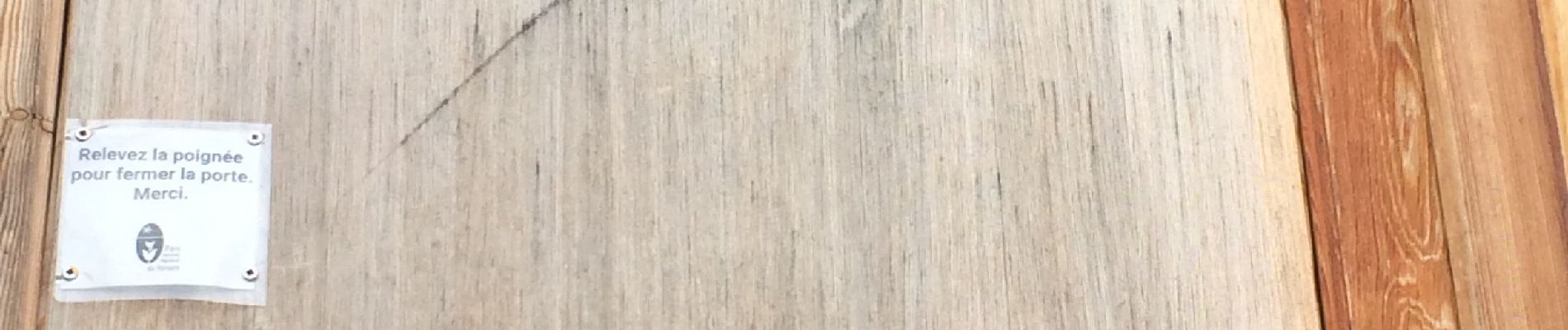
Photos


Positioning
Country:
France
Region :
Auvergne-Rhône-Alpes
Department/Province :
Drôme
Municipality :
Chamaloc
Location:
Unknown
Start:(Dec)
Start:(UTM)
689381 ; 4967773 (31T) N.
Comments