


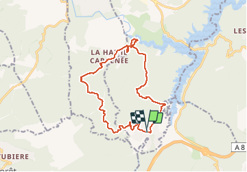

15.4 km | 22 km-effort


User


FREE GPS app for hiking
 SityTrail
IGN / Geographical institutes
SityTrail World
The world is yours!
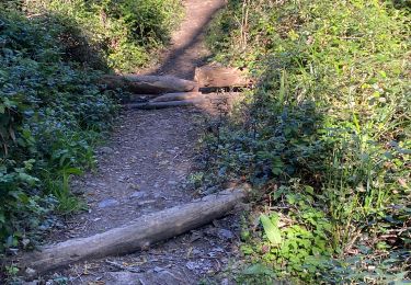
Trail Walking of 16.2 km to be discovered at Provence-Alpes-Côte d'Azur, Var, Montauroux. This trail is proposed by ETMU5496.
Petite boucle sans difficulté aux alentours du lac de St Cassien

Walking

Walking

Walking
Walking

Mountain bike
Walking
Mountain bike
Mountain bike
Walking