


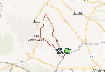

15.9 km | 20 km-effort


User


FREE GPS app for hiking
 SityTrail
IGN / Geographical institutes
SityTrail World
The world is yours!
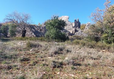
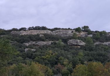
Trail Walking of 5.5 km to be discovered at Provence-Alpes-Côte d'Azur, Vaucluse, Mazan. This trail is proposed by François Vivant.
vue Ventoux et Dentelles, bois et vignes

Walking

Walking

Walking
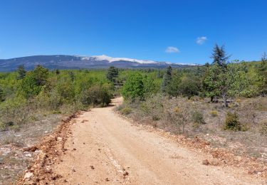
Mountain bike
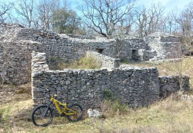
Mountain bike
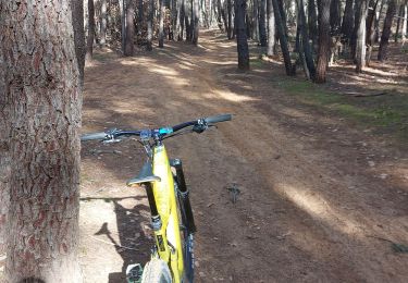
Mountain bike
Mountain bike
Walking
Mountain bike
Très chouette petit tour, au calme.