


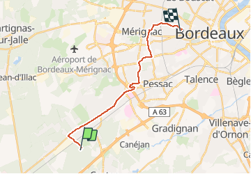
Les Sources - Gazinet

jcbodel
User

Length
17.9 km

Max alt
61 m

Uphill gradient
110 m
Km-Effort
19.4 km

Min alt
15 m

Downhill gradient
146 m
Boucle
No
Creation date :
2019-12-19 16:02:08.0
Updated on :
2020-01-02 12:58:58.206
2h32
Difficulty : Unknown

FREE GPS app for hiking
 SityTrail
IGN / Geographical institutes
SityTrail Plus
The world is yours!
About
Trail Walking of 17.9 km to be discovered at New Aquitaine, Gironde, Cestas. This trail is proposed by jcbodel.
Positioning
Country:
France
Region :
New Aquitaine
Department/Province :
Gironde
Municipality :
Cestas
Location:
Unknown
Start:(Dec)
Start:(UTM)
681457 ; 4958716 (30T) N.
Comments