


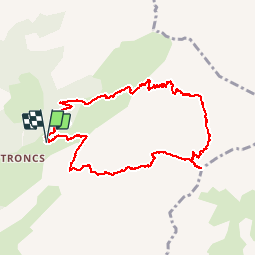

12.7 km | 23 km-effort


User


FREE GPS app for hiking
 SityTrail
IGN / Geographical institutes
SityTrail World
The world is yours!
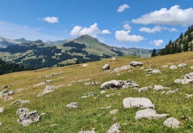
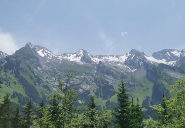
Trail Walking of 11.4 km to be discovered at Auvergne-Rhône-Alpes, Upper Savoy, Le Grand-Bornand. This trail is proposed by nico7488.
rando
Walking
On foot

Walking

Walking

Snowshoes

Walking
Walking
Walking
Walking
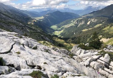
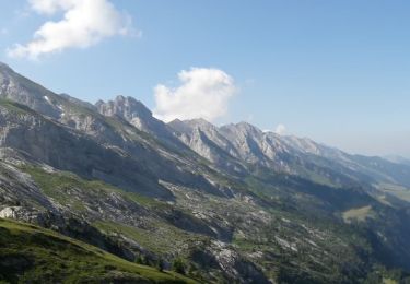
Pas de chemin indiqué lors du retour au parking lorsque l'on est sur le GR. Il vaut mieux continuer jusqu'au chalet du planet. Si l'on prend la trace indiquée les courbes de niveaux sont serrées. Cela peut être dangereux. par ailleurs le temps global de 5H32 est celui d'un très bon coureur.