


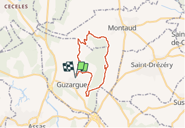

9.3 km | 10.7 km-effort


User


FREE GPS app for hiking
 SityTrail
IGN / Geographical institutes
SityTrail World
The world is yours!
Trail On foot of 12.4 km to be discovered at Occitania, Hérault, Guzargues. This trail is proposed by guiller.
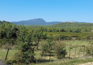
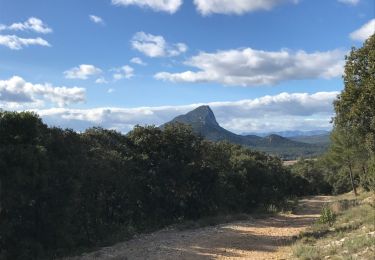
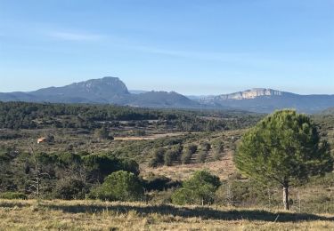
Guzargues, crête coté est , monter jusqu'à l'antenne, (mer visible, monts ventoux, cévennes), aller au nord, passer à la source de font counillière, (si passage par source de font salaison circuit de 15 kms ) sens des aiguilles d'une montre

Walking
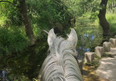
Horseback riding

Walking

On foot
Walking
Walking
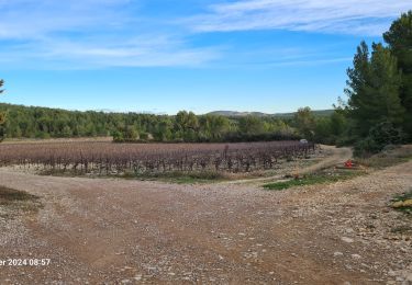
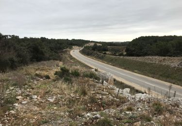
jolie petite randonnée avec de belles vues sur le Pic Saint loup et sur l'étang de L'Or. aucune difficulté