


21 km | 23 km-effort

User


FREE GPS app for hiking
 SityTrail
IGN / Geographical institutes
SityTrail World
The world is yours!
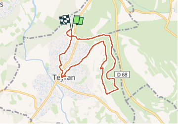
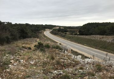
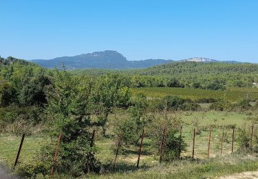
Trail Walking of 8.9 km to be discovered at Occitania, Hérault, Teyran. This trail is proposed by v.rabot.
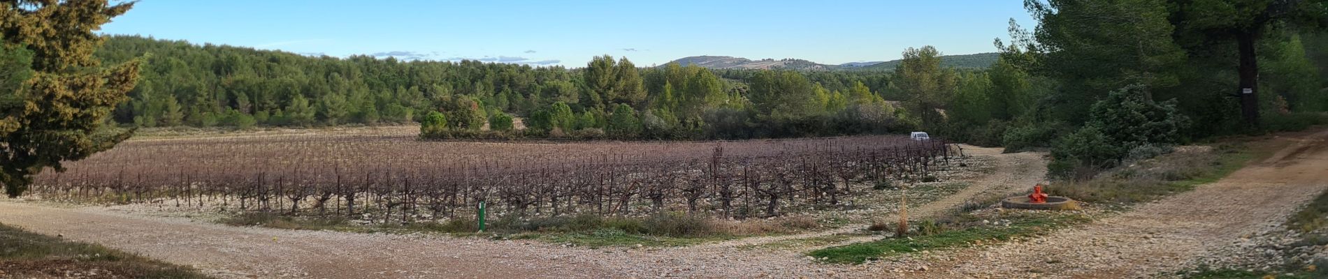
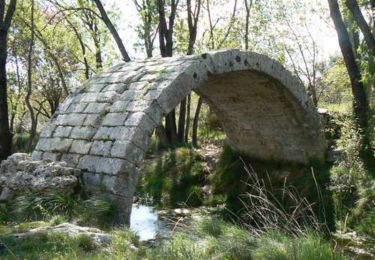
Petite marche en attendant la réalisation de la vidange de la voiture, ce circuit ne présenta aucune difficulté, offre une belle vue sur Castries. Promenade agréable.


Mountain bike

Walking
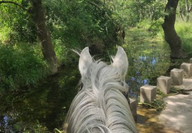
Horseback riding

On foot

Mountain bike

Walking
On foot