


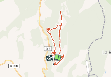

9.6 km | 12.7 km-effort


User


FREE GPS app for hiking
 SityTrail
IGN / Geographical institutes
SityTrail World
The world is yours!
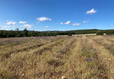
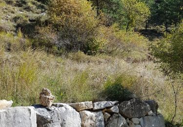
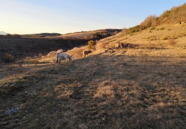
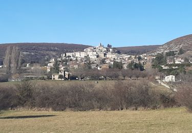
Trail Walking of 9 km to be discovered at Provence-Alpes-Côte d'Azur, Alpes-de-Haute-Provence, Redortiers. This trail is proposed by PITOUSSAINT.


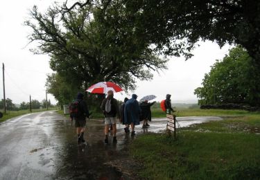
Walking
Walking
Walking
Walking
Walking
Walking
Walking
Walking
Walking
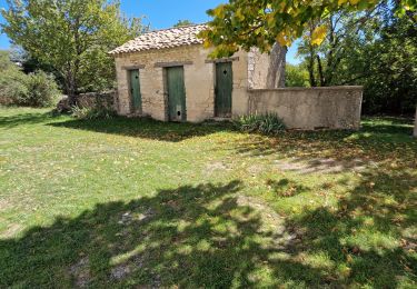
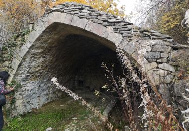
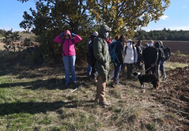
Village en ruine qui a inspiré J. GIONO lorsqu'il a écrit Regain. Il nomme, dans le film, ce village Aubignane Ce village qui comptait 500 ha en 1900 à été abandonné après la guerre de 14-18.