


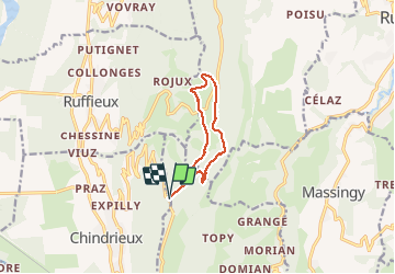
SAPENAY / CLERGEON: COL DU SAPENAY - MONTCLERGEON PAR LE SENTIER DES VACHES (en live)

djeepee74
User


2h45
Difficulty : Easy

FREE GPS app for hiking
 SityTrail
IGN / Geographical institutes
SityTrail Plus
The world is yours!
About
Trail Walking of 8.9 km to be discovered at Auvergne-Rhône-Alpes, Savoy, Chindrieux. This trail is proposed by djeepee74.
Description
BOUCLE
La première clôture franchie, au Km 1.7, vous ne pouvez pas rater la trace (large ornière transversale / traces de troupeaux)... suivez la en montant sur la gauche... la sente est très bien marquée, par contre c'est gras, parfois épineux... mais pittoresque !
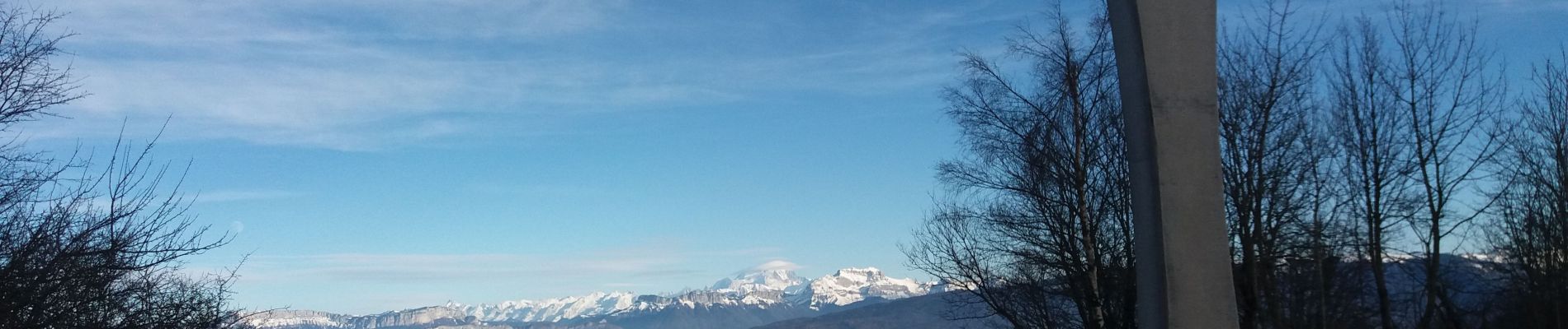
Photos
 - Photo 1")
 - Photo 2")
 - Photo 3")
Positioning
Comments