


rsgalette

LouisROGER
User GUIDE
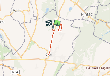

Length
9.9 km

Max alt
406 m

Uphill gradient
66 m
Km-Effort
10.8 km

Min alt
378 m

Downhill gradient
63 m
Boucle
Yes
Creation date :
2020-01-08 12:50:53.322
Updated on :
2020-01-08 15:56:37.415
2h39
Difficulty : Very easy

FREE GPS app for hiking
 SityTrail
IGN / Geographical institutes
SityTrail Plus
The world is yours!
About
Trail Walking of 9.9 km to be discovered at New Aquitaine, Pyrénées-Atlantiques, Ger. This trail is proposed by LouisROGER.
Positioning
Country:
France
Region :
New Aquitaine
Department/Province :
Pyrénées-Atlantiques
Municipality :
Ger
Location:
Unknown
Start:(Dec)
Start:(UTM)
739563 ; 4795360 (30T) N.
Comments