


Boult

eltonnermou
User
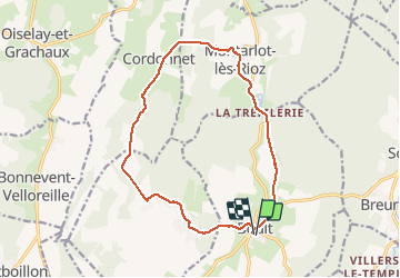

Length
14.5 km

Max alt
374 m

Uphill gradient
290 m
Km-Effort
18.4 km

Min alt
232 m

Downhill gradient
290 m
Boucle
Yes
Creation date :
2020-01-09 13:48:06.698
Updated on :
2024-10-21 16:38:27.929
4h10
Difficulty : Difficult

FREE GPS app for hiking
 SityTrail
IGN / Geographical institutes
SityTrail Plus
The world is yours!
About
Trail Walking of 14.5 km to be discovered at Bourgogne-Franche-Comté, Haute-Saône, Boult. This trail is proposed by eltonnermou.
Description
Parking devant l'église. 14,4km
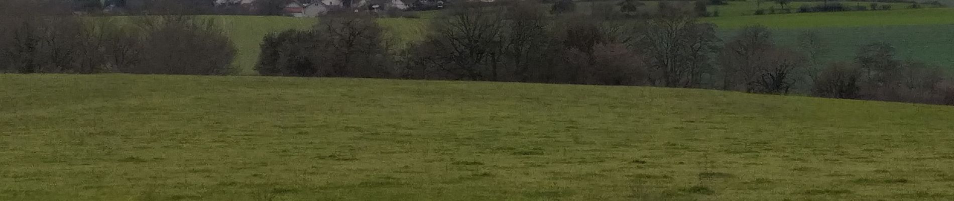
randonnée à travers prairie et beaucoup de sous bois. De belles bâtisses dans les villages traversés. 2 points de vue sur les paysages haut-saonois.
Photos


Positioning
Country:
France
Region :
Bourgogne-Franche-Comté
Department/Province :
Haute-Saône
Municipality :
Boult
Location:
Unknown
Start:(Dec)
Start:(UTM)
273613 ; 5251784 (32T) N.
Comments