


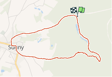

14.7 km | 23 km-effort

User


FREE GPS app for hiking
 SityTrail
IGN / Geographical institutes
SityTrail World
The world is yours!
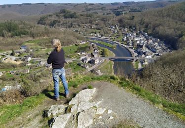
Trail Walking of 5 km to be discovered at Wallonia, Namur, Vresse-sur-Semois. This trail is proposed by mavbelgium.
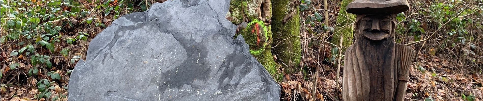
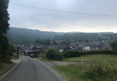
Mooie wandeling in bossen rond Sugny. Niet te lang en toegankelijk voor iedereen. Mogelijkheid tot kopen van honing langs de wandeling als je het dorp binnenkomt op de R kant.


Walking

Walking

Walking
Walking
Walking

Walking

Walking

On foot
On foot