


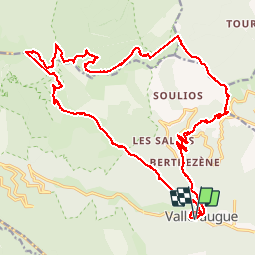


13.9 km | 19.6 km-effort


User


FREE GPS app for hiking
 SityTrail
IGN / Geographical institutes
SityTrail World
The world is yours!
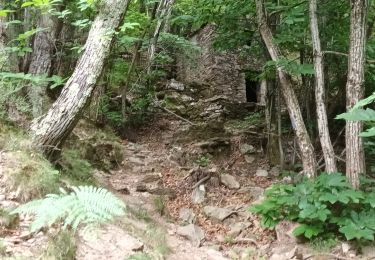
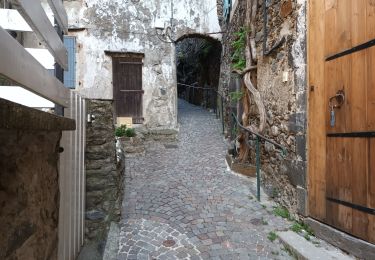
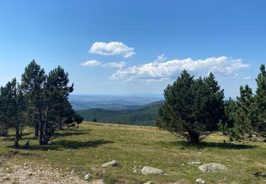
Trail Walking of 31 km to be discovered at Occitania, Gard, Val-d'Aigoual. This trail is proposed by mrclic34.
Rando fait sur 2 jours avec un repos a l'Aire de côte.


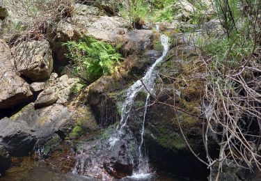
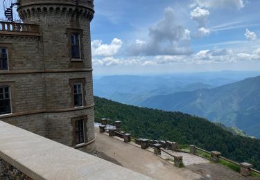
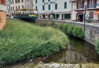
23 photos in total. Please click on a photo to see them all in the gallery.
Walking

Walking

Walking
Walking
Walking
Walking
Walking

On foot
Walking