


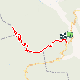

8.5 km | 14.4 km-effort


User


FREE GPS app for hiking
 SityTrail
IGN / Geographical institutes
SityTrail World
The world is yours!
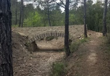
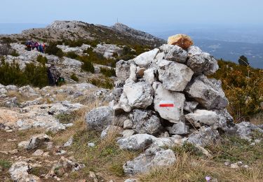
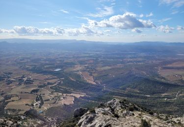
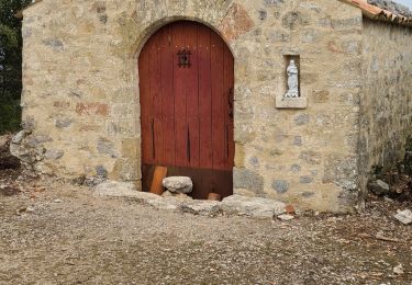
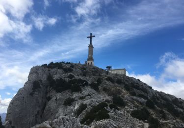
Trail Walking of 9.6 km to be discovered at Provence-Alpes-Côte d'Azur, Bouches-du-Rhône, Jouques. This trail is proposed by fifidebreizh.
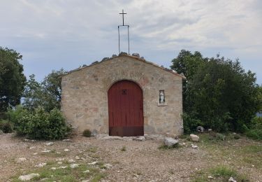
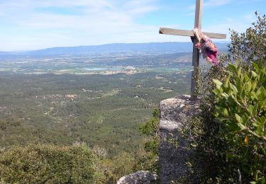
Ballade très sympa, très joli point de vue arrivée en haut


Walking
Walking
Walking
Walking
Walking
Walking
Walking
Walking
Walking