


Boucle du Rocher de la Piche

claude nier
User
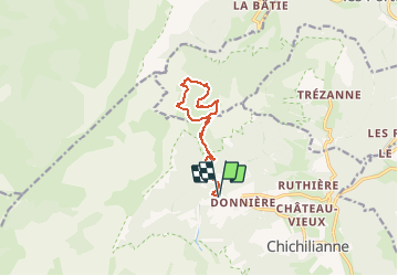

Length
11.2 km

Max alt
1708 m

Uphill gradient
962 m
Km-Effort
24 km

Min alt
1059 m

Downhill gradient
962 m
Boucle
Yes
Creation date :
2020-01-22 17:29:19.661
Updated on :
2020-01-22 17:30:42.052
--
Difficulty : Medium

FREE GPS app for hiking
 SityTrail
IGN / Geographical institutes
SityTrail Plus
The world is yours!
About
Trail On foot of 11.2 km to be discovered at Auvergne-Rhône-Alpes, Isère, Chichilianne. This trail is proposed by claude nier.
Description
11kms...960 mts de deniv...trop beau
Positioning
Country:
France
Region :
Auvergne-Rhône-Alpes
Department/Province :
Isère
Municipality :
Chichilianne
Location:
Unknown
Start:(Dec)
Start:(UTM)
701285 ; 4966398 (31T) N.
Comments