


Markstein - Moorfeld

jmbilger
User
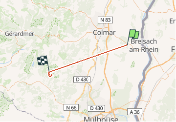

Length
43 km

Max alt
1206 m

Uphill gradient
2093 m
Km-Effort
67 km

Min alt
189 m

Downhill gradient
1169 m
Boucle
No
Creation date :
2020-01-23 10:03:44.0
Updated on :
2020-01-23 14:02:50.998
2h15
Difficulty : Very easy

FREE GPS app for hiking
 SityTrail
IGN / Geographical institutes
SityTrail Plus
The world is yours!
About
Trail Walking of 43 km to be discovered at Grand Est, Haut-Rhin, Wolfgantzen. This trail is proposed by jmbilger.
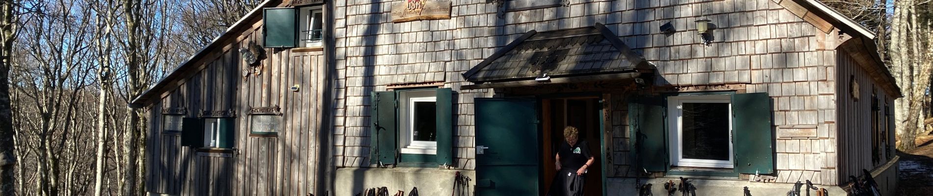
Photos


Positioning
Country:
France
Region :
Grand Est
Department/Province :
Haut-Rhin
Municipality :
Wolfgantzen
Location:
Unknown
Start:(Dec)
Start:(UTM)
387052 ; 5320603 (32U) N.
Comments