


hastingues G4fait

LouisROGER
User GUIDE
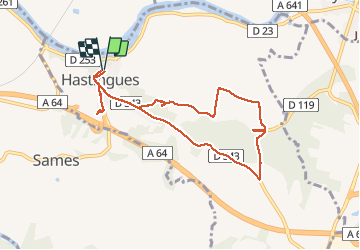

Length
9.1 km

Max alt
85 m

Uphill gradient
171 m
Km-Effort
11.3 km

Min alt
-1 m

Downhill gradient
170 m
Boucle
Yes
Creation date :
2020-02-07 08:51:15.222
Updated on :
2020-02-07 14:00:21.492
5h06
Difficulty : Very easy

FREE GPS app for hiking
 SityTrail
IGN / Geographical institutes
SityTrail Plus
The world is yours!
About
Trail Walking of 9.1 km to be discovered at New Aquitaine, Landes, Hastingues. This trail is proposed by LouisROGER.
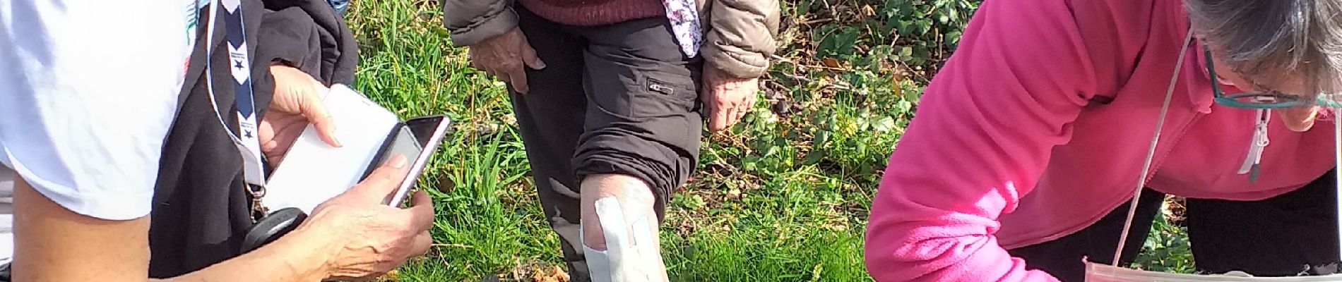
Photos


Positioning
Country:
France
Region :
New Aquitaine
Department/Province :
Landes
Municipality :
Hastingues
Location:
Unknown
Start:(Dec)
Start:(UTM)
649570 ; 4821846 (30T) N.
Comments