


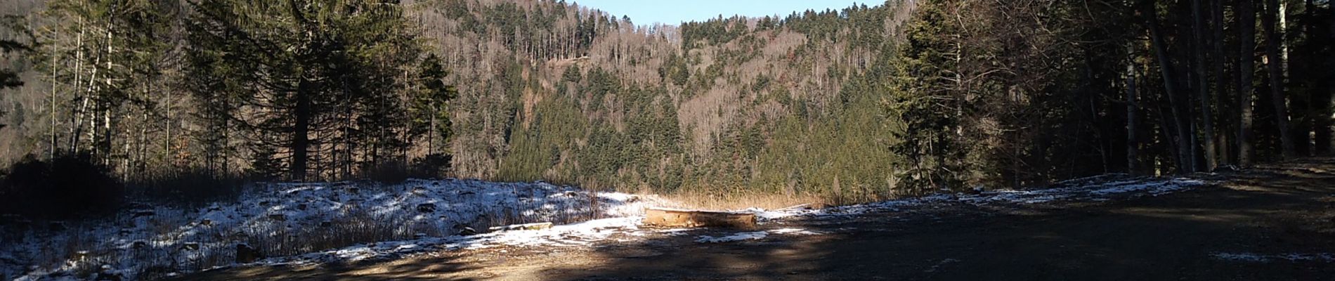
Sewen chalet du Graber

helmut68
User


4h10
Difficulty : Medium

FREE GPS app for hiking
 SityTrail
IGN / Geographical institutes
SityTrail Plus
The world is yours!
About
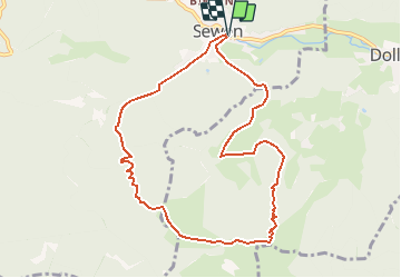
Trail Walking of 9.1 km to be discovered at Grand Est, Haut-Rhin, Sewen. This trail is proposed by helmut68.
Description
Départ Église de Sewen, puis prendre le balisage du GR531 jusqu'au refuge du Graber, ensuite utiliser le balisage rectangle "bleu blanc bleu" jusqu'au téléski du Schlumpf, là prendre le sentier en contre bas à gauche balisé " cercle rouge " qui descend jusqu'à Sewen ,en passant par la ferme auberge du Graber ( chambre & restauration possible ) .
Alors à vos chaussures...
Photos


Positioning
Comments