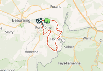
Trail Walking Beauraing - RB-Na-29-racc-2_Un terroir d’une biodiversité remarquable - Photo

RB-Na-29-racc-2_Un terroir d’une biodiversité remarquable

Randonnez sur et autour des GR ® wallons (Sentiers de Grande Randonnée). PRO

© OpenStreetMap contributors
Length
Length
19 km
Max alt
Max alt
346 m
Uphill gradient
Uphill gradient
337 m
Km-Effort
Km-Effort  
24 km
Min alt
Min alt
197 m
Downhill gradient
Downhill gradient
337 m
Boucle
Boucle
Yes
Creation date :
13/02/2020 08:48
Updated on :
26/04/2024 10:15

(2 Reviews)

Walking
Walking
5h20
Difficulty : Very difficult

Scan this QR Code to open this trail in the SityTrail application

FREE GPS app for hiking

Logo SityTrail SityTrail

IGN / Geographical institutes

Download SityTrail from the App Store Download SityTrail from Google Play

Logo SityTrail SityTrail Plus

The world is yours!

Download SityTrail from the App Store Download SityTrail from Google Play Download SityTrail on Huawei AppGallery

About

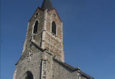
Trail Walking of 19 km to be discovered at Wallonia, Namur, Beauraing. This trail is proposed by GR Rando (plus commercialisé).

Description

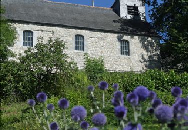
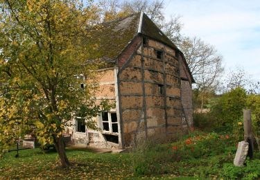
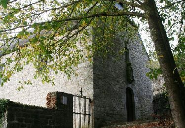
Voici un terroir méconnu qui mérite d’être connu ! Le randonneur démarre sur un sentier au naturel pour aller découvrir Revogne, un bourg minuscule et bien sympathique. Le village de Honnay et la montée vers un grand panorama ne sont qu’un intermède avant la plongée vers le vallon de la Wimbe, un affluent de la Lesse. Le randonneur ne restera pas insensible aux charmes enchanteurs de cette petite rivière sauvage qui reçoit la Snaye, franchie peu avant de remonter à Pondrôme.

Photos

Points of interest

Point of interest Beauraing - RB-Na-29-POI-01-Site du Tomboi - Photo
GR Rando (plus commercialisé)
Point of interest Beauraing - RB-Na-29-POI-02-Revogne - Photo
GR Rando (plus commercialisé)
Point of interest Beauraing - RB-Na-29-POI-04-Ferme Saint-François - Photo
GR Rando (plus commercialisé)

Positioning

Country:
Belgium
Region :
Wallonia
Department/Province :
Namur
Municipality :
Beauraing
Location:
Unknown
Start:(UTM)
643640 ; 5551636 (31U) N.

Comments

Please log in to post a review or rate the element


très belle randonnée


Le bois Abanet après le village de Honnay est inaccessible. Un détour s'impose.


Close
My subscriptions